


History of South Georgia
In 1882-1883 there was the first international polar year was stationed at Royal Bay on the south east side of the island. South Georgia was a sealers base as well as whalers base whaling ended in the year 1960s.
South Sandwich Island
The Southern Island of the Sandwich Island was discovered by Captain James Cook in 1775. The northern three islands were discovered by Bellingshausen in 1819. The Sandwich Island was named by Cook. He commented that there might be a group of island rather than a single body of body land. This name was chosen in honour of John Montagu, 4th earl of Sandwich, First lord of the Admiralty. The word �South� was later added to distinguish them from the Sandwich Island, now it is known as the Hawaiian island.
The South Sandwich Island was claimed by Argentina in 1938 and it challenged British Sovereignty in the Island on Several Occasions.
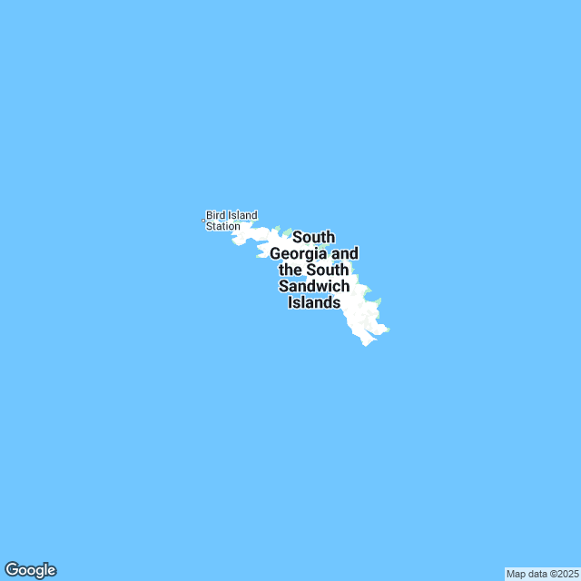
Geography of South Georgia
South Georgia and the South Sandwich Island is the island of South Atlantic Ocean. Most of the island is mountainous and at higher elevation the islands are permanently covered with ice and snow.South Georgia Group
The South Georgia group lies at about 1390km east-southeast of the Falk Islands. It has a total land area of 3756 km2 including satellite island. It is mountainous and largely barren. Their slopes furrowed with the deep gorges filled with glaciers. There is no fossil which is like Falkland Island.
South Sandwich Island
The South Sandwich Island is mostly Volcanic Island with some active Volcanoes. The Traversary Island and Candlemas Island group are formed from the northernmost of the South Sandwich Island whereas the southern most mave up Southern Thulke.
The South Sandwich Island is uninhabited, though a permanently manned Argentina research Station was located from 1976 to 1982. There are weather stations.
Climate of South Georgia
The climate is classified as polar and the weather is highly changeable and harsh. The maximum temperature in South Georgia in winter at sea level are around 0 degree C and in summer 8 degree C. Annual precipitation in South Georgia is about 1500mm in any month there is fall of snow . The snowline in summer is at an altitude of about 300mThere is a normal blow of wind throughout the year the mean wind speed of around 8 knots. This gives the most pleasant climate in the eastern side of South Georgia. Sunshine is low with many South Atlantic Island. This amounts to 1000 hours sunshine approx. there is also low isolation. Mountain wind blows straight up the western side and straight side of the mountains which becomes much warmer and drier.
South Georgia
Due to the proximity of the Atlantic current the sea surrounding the South Georgia are cold throughout the year. Iceberg is common sea temperature drop to 0 degree C. In late august and rise to around 4degree C in early April.
South Sandwich Island
This island is much colder than South Georgia. They are surrounded by sea ice from the middle may to late November.
Tourist Attraction in South Georgia
Tourism has become a large source of income in recent years. The territory gains income from landing charges and the sale of souvenirs. Falkland Islands are usually visited by Charter yacht. This helps the visitors to arrive in the remote location of the earth. Whaling stations are also attractive points. But it is prohibited.Famous Hotels in South Georgia
The famous hotels of South Georgia are- Super 8 Adel South Motorsports Park
- Days Inn-Adel-South Georgia- Motorsports Park
- Hampton Inn Adel
South Georgia Culture
Fishing is the main occupation of the land. Government collects revenue form the sale of postage stamps and coins, tourism and harbor dues. The official currency of the country is the pound sterling. The official language of the country is English. King Edward Point is the capital city of the country.
Posted By : All Places Map Last Updated: August 31, 2015
Flag of South Georgia
