


History of Pitcairn Islands
Geography of Pitcairn Islands
Pitcairn Islands is volcanic high island. Its neighbours, namely Henderson island is an uplifted coral island. Other neighbours, Ducie and Oeno are coral atolls. Pitcairn Islands has an area of 5 sq. km. Population density 10/ sq.km. It is only accessible by boat through Bounty bay. The other islands are at a distance of more than 100 km.Climate of Pitcairn Islands
The climate is humid and tropical. Rainfall is moderate with no pattern, just a bit wetter in the winter. There are strong winds and typhoons from November to march.Natural Resources in Pitcairn Islands
The natural resources are miro trees (used for handicrafts) and fish. Others- manganese, iron, copper, gold, silver and zinc have been discovered offshore.Tourist Attraction in Pitcairn Islands
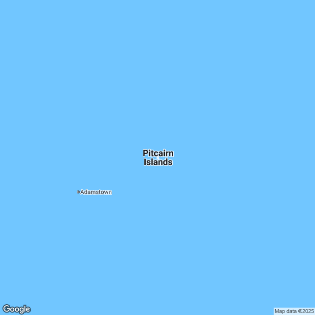
Adamstown is the smallest capital in the world. Pitcairn Islands museum is a good tourist attraction.Pitcairn Islands Cuisine
The delicious foods include Yam, breadfruit, sugarcane, coconut, fish, pig, bananas and beans. Food is cooked in underground ovens wrapped in plantain leaves.Pitcairn Islands Culture
Basket weaing using palm leaves and wood carvings, which is a popular craft, are done using wood from locally grown miro trees.Pitcairn's famous sport is tennis. There is also swimming, diving and Snorkeling.
Among festivals, the famous festival is annual celebration of burning of the Bounty. Each year on 23rd January, a wooden model of HMS Bounty is set afire and towed across Bounty bay in memory of scuttling of the original Bounty after the mutineers found safe haven at Pitcairn.
International Airports in Pitcairn Islands
Totegegie Airport is the only one reachable for trip to Pitcairn Islandss. It is situated in Gambier islands.
Posted By : All Places Map Last Updated: November 11, 2015
Flag of Pitcairn Islands
