


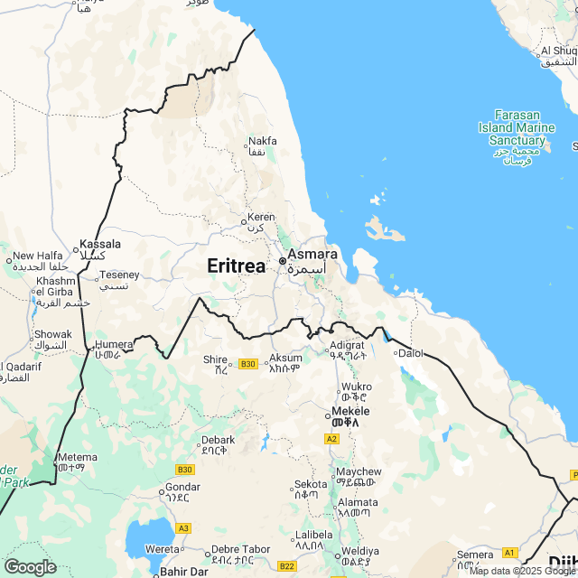
Facts about Eritrea | |
|---|---|
| Country | Eritrea |
| Continent | Africa |
| Capital | Asmara |
| Government | Single-partyprovisional government |
| Independence Day | 24 May, 1993 |
| Climate | Arid and Semiarid |
| Area | 117,600 sq km |
| Currency | Nakfa (ERN) |
| Dialling Code | 291 |
| Neighbours | Djibouti, Ethiopia, Sudan |
Flag of Eritrea
